Retrace of Pavement Marking


Retroreflectivity levels in Tennessee


Highways


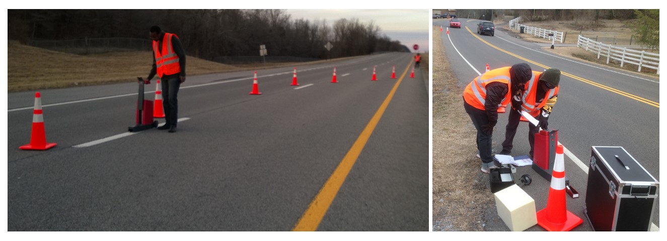
This study used the handheld LTL-X Retroreflectometer to measure pavement marking retroreflectivity levels on selected highway for a period of two years.The collected data were used to develop a correlation between time and retroreflectivity levels. Regression models were developed for predicting the time pavement markings stay within the acceptable limits based on the geographic locations, pavement marking material type, and traffic volume.

Civil Engineering Support for the Traffic


Monitoring Program


The tasks of this project involved collecting data on the distribution of axle spacing and axle weights of bobtails' front axle and the tandem axles. Statistical data analysis was explored to identify the dimensions thresholds/ranges, including percentiles, median, and standard deviation. These parameters were used to calibrate the weigh-in-motion sensors.

In addition, the impact of temperature variable was assessed on the accuracy of weigh-in-motion sensors in measuring the weight of trucks. Different statistical models were explored in the analysis.


Bicycle Route Planning in Pleasant View


Town, TN


This project was about evaluating bicycle route using both Bicycle Level of Service (BLOS) and Latent Demand Score (LDS) models. Using the city of Pleasant View, TN as the case study, it was found that the two methodologies are relevant for small city planning but with some limitations. The BLOS model was challenged with the availability of daily traffic volume data, which is scarce for non-state roadways in a small city. BLOS scores were grade C or better meaning that those roadways are suitable for bicycle travel. The challenge for the LDS model was the availability of trip purpose data within the city, so nationwide values based on urban areas, were used. Another limitation of LDS, whose results are given as the relative demand, was choosing the most appropriate bike facility considering the magnitude of the demand when compared to that of a metropolitan area. The bike facilities chosen to be most appropriate for the bicycle network design are bike lane, paved shoulder, and shared roadway.